top of page


Design First, Install with Confidence
With a Landscape Designer


Residential Landscape Design Packages

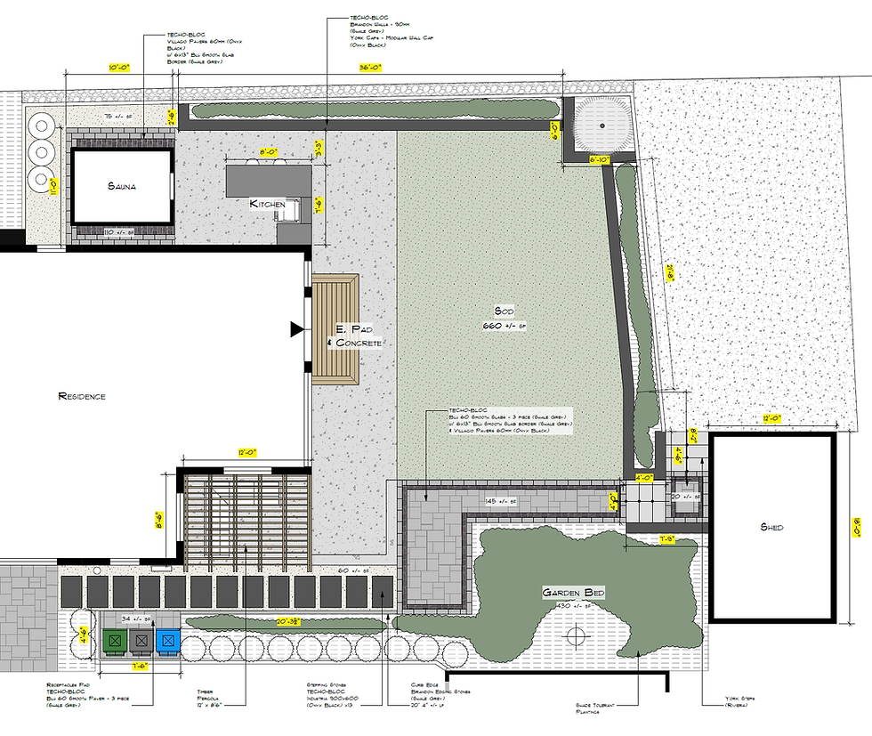


It's time for a streamlined approach to
site analysis with drone scanning.

Measuring Tape
Efficiently replaced by precise aerial measurements, saving time and reducing human errors.
Zip-Level
Replaced by point cloud-generated topographic data for exact elevation details.
Hand Sketches
Automatically replaced by detailed orthomosaic maps and 3D models for enhanced accuracy.
Multiple Site Visits
Visit just once—drone data collection captures every detail, ensuring no measurement is missed!

Looking for an Installer?
Enjoy a seamless transition from paper plan to full construction.
You don't need to shop your design around to external contractors. As an in-house designer with Aspen Landscape & Development, I work directly with our project managers and construction crews to bring your project to life under one roof.


bottom of page